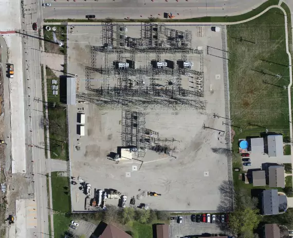
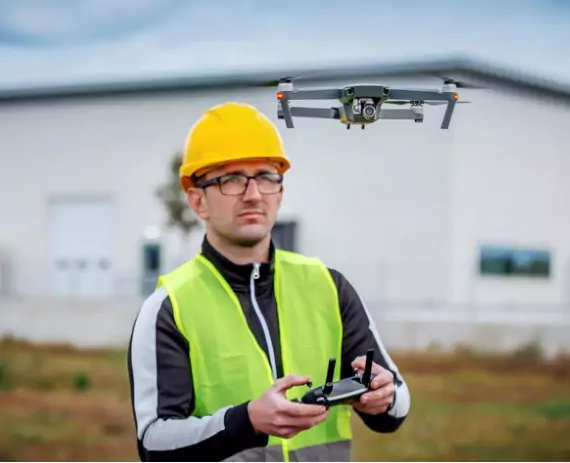
The more you know about a site before you begin development plans, the better. If you plan to survey and develop a plot of land for any kind of project, talk to Austin Engineering about drone surveys in Moline IL.

Using a drone to survey provides multiple advantages. That’s why drones now represent the favored option in the land development and site planning space. We have the right technology to provide this safer and more convenient alternative to the old-fashioned method of sending out a team to perform a manual survey.
Today’s specialized high-tech drones, which work in tandem with software designed for this industry, get the job done much faster than was possible just a few years ago. With drone, rough or dangerous terrain is not an issue. In fact, drones simply provide superior data. Also, they can provide more information faster than any human team. Plus, another advantage of our drones is their ability to scan sensitive areas without disturbing wildlife.
Truly, there is just no comparison. Drone surveys are significantly cheaper, faster and safer. Additionally, our state-of-the-art system picks up and records thousands of data points, giving you the information you need for the best possible preparations. Because the comprehensive information and measurements are far more extensive than what older technologies could ever capture, we can significantly reduce the possibility of running into a costly surprise later in the project.
Before the development of drone technology, Inspecting a site and collecting the necessary data used to require significant manual labor. This took a lot of time – and money. However, doing the job with a drone is greatly simplified. Here are more drone advantages to consider:

If you’re in the market for a professional architecture/civil engineering firm, give us a call. Our services go far beyond drone surveys, and we serve Central Illinois and beyond, with branch offices in Davenport, IA and Chattanooga TN. We hold licensing in 14 states and are glad to talk to you about:
Are you planning a construction project or development project? Talk to us about drone surveys in Moline IL. Call us today at 563-207-4605.